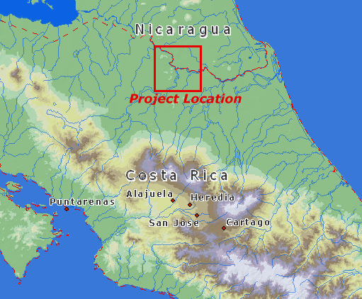
The project is located in the Rio San Juan border region of Costa Rica and Nicaragua, Central America.

Vector map data derived from Digital Chart of the World (DCW) and background mapping derived from Digital Elevation Model (DEM) data prepared by Patrick Van Laake for the Instituto Geográfico Nacional of Costa Rica, and the Food and Agriculture Organization of the United Nations.